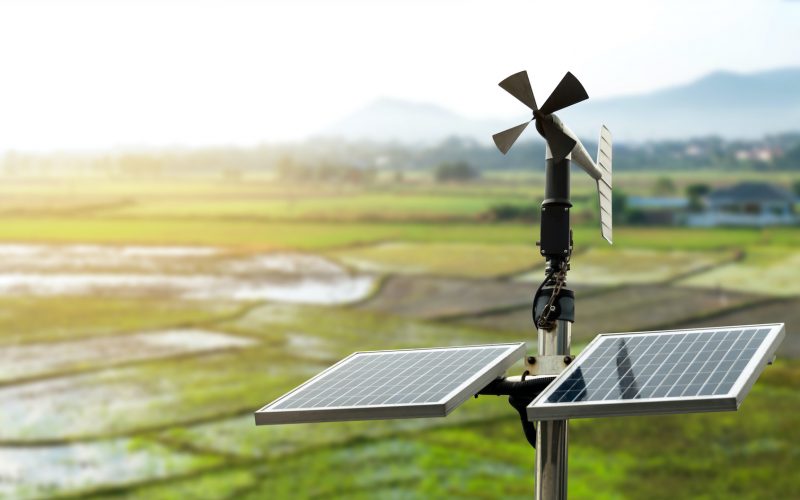
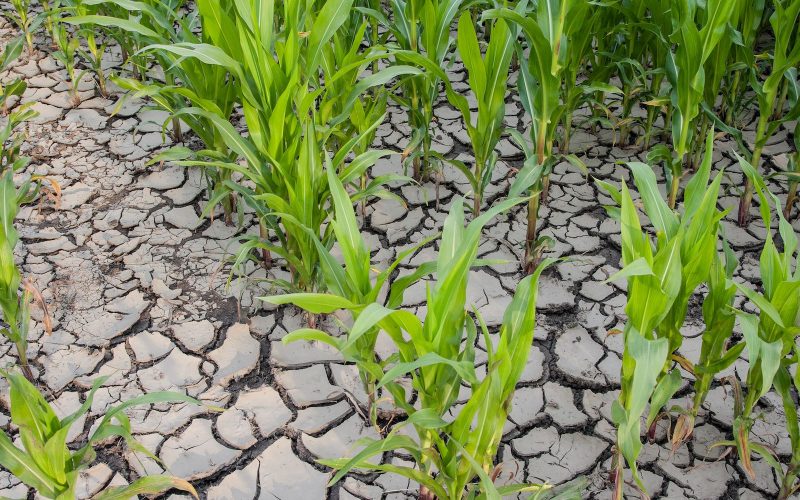
 Seeing climate change as a new opportunity is the challenge that Highlander has taken on and about to win. Highlander project strives for a smarter management of lands, studying new sectors enabled by emerging technologies interested in reducing risks on human health, agriculture and livestock production. Through the use of High Performance Computing, Highlander project aims at reducing risks associated with climate change by processing data and obtaining accurate climate forecasts, achieving the goal of having a more intelligent, sustainable management of natural resources and of the territory.
Thanks to data processing, Highlander will be fully exploiting new technologies to generate, manage, host and distribute organised sets of data, integrating with already existing geospatial and non-geospatial datasets. Designing and implementing a continuously updated last generation multi-thematic framework of highly detailed and harmonised data, indicators and tools ranging from remote and in-site monitoring, analytical tools and numerical models to machine learning algorithms.
The data processing activity will ensure new and already existing datasets are accessible to multiple users as well as HPC-based tools and services, and the long-term functionality of the created services thanks to the involvement of real users during the project. Facilitating the mainstream of information itself into decisions, strategies and plans on different interacting scales and sectors.
Objectives and expected results
Highlander project will be able to develop new cutting-edge applications and services for:
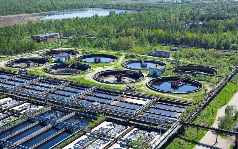
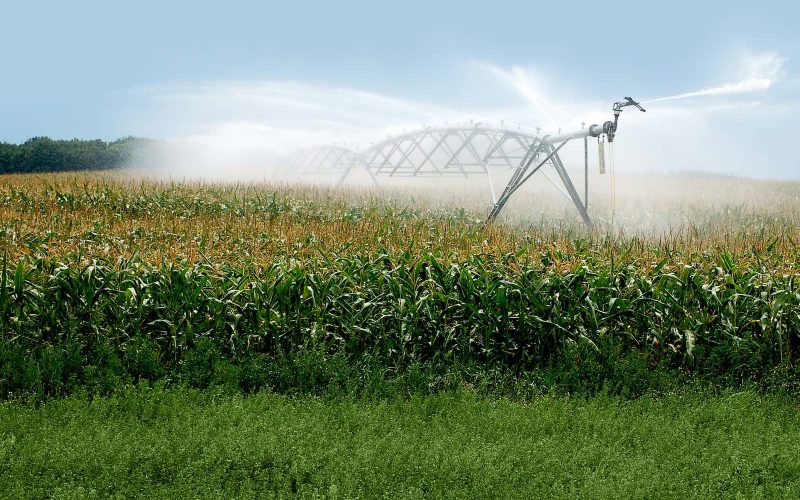
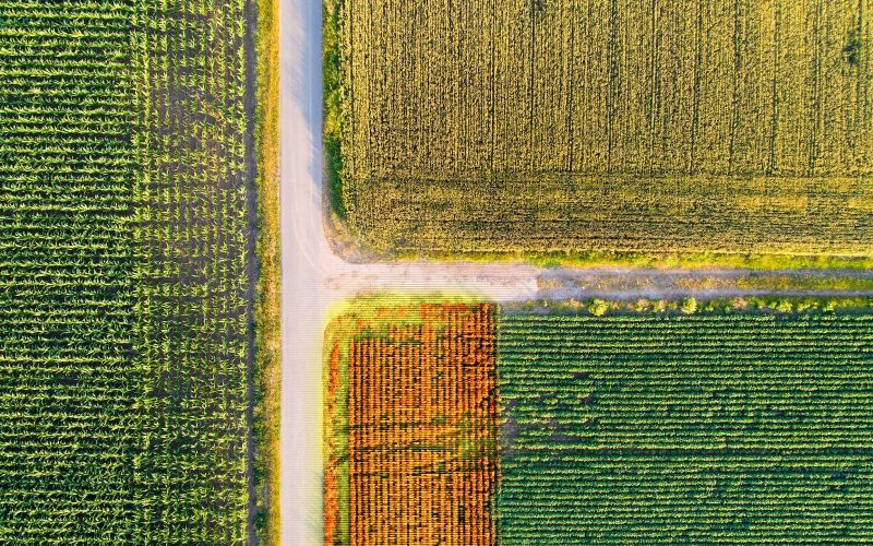
- a smarter management of agriculture – irrigation schedules, fertiliser inputs, water cycle and sustainability of competing uses (hydropower, domestic, agricultural, ecological) – supporting planning and decision-making when considering territorial resources and systems owing to short-term forecasts and medium-term climate projections, including extreme events and related climate risks;
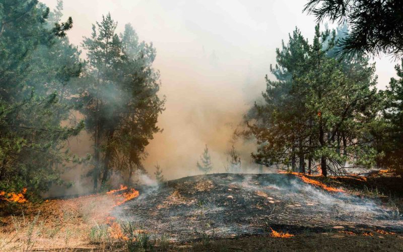
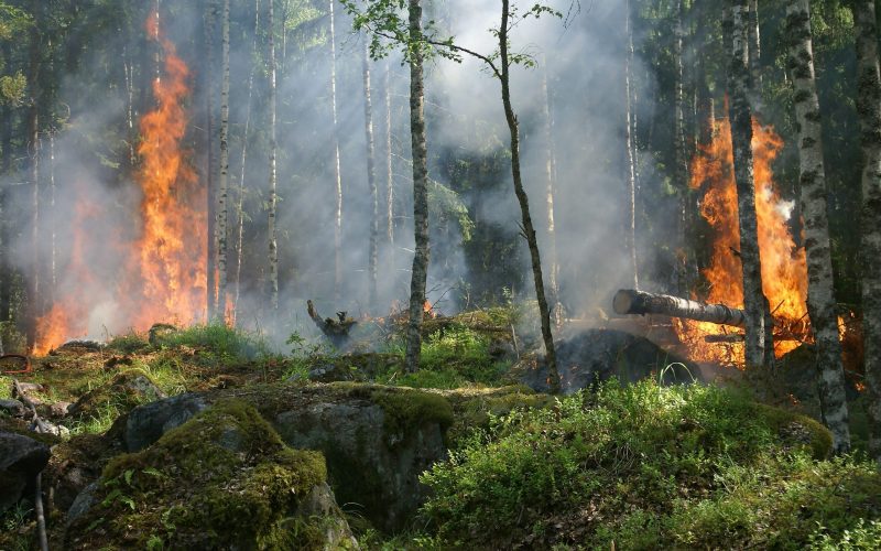
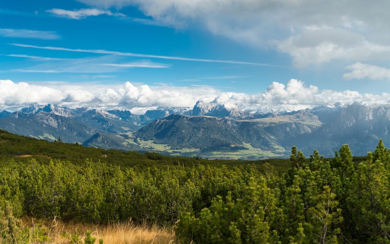
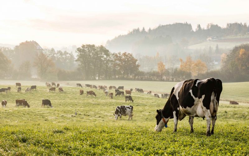
- animal welfare, environmental management of nature parks and forest fire predictions and controls, integrating climate data, satellite observations and Internet of Things data in order to support ecosystem assessment and management such as environmental management of natural parks.
Use Cases
Deliverables
- D2.1 Dissemination and Communication Plan with Annexes – Updated Version
- D2.3_Dissemination Actions Report
- D3.1 Catalogue of background and foreground data for the Open Data Porta; Technical annex
- D4.1_Datasets of downscaled ERA-5 reanalysis over Italy
- D4.2 – Datasets of coarse and fine hor. res. CMCC’s GCM runs and of very high hor.res. COSMO-CLM RCM outputs
- D4.3 Downscaled Sub Seasonal forecast – Updated Version
- D4.4 Data Harmonization Specification
- D4.5 Report on Machine Learning integration algorithms- UNITUS
- D5.1 Roadmap of actions and material to be used in interactions with users (questionnaires, mailing lists, social platforms, etc.) updating every 6 month – Version 31/03/2022
- D5.2 DApOS design and basic specification – Updated Version
- D5.3 Reports of results of the implemented DApOS: D5.3_DApOS_1a_Land suitability for vegetation; D5.3_DApOS_1b_Changes in the land suitability for vegetation; D5.3_DApOS_2_Human wellbeing in rural and urban areas; D5.3_DApOS_3_Water cycle and sustainability of competing uses; D5.3_DApOS_4_Soil erosion; D5.3_DApOS_5a_Forest Fires Prediction and Controls; D5.3_DApOS_5b_Forest fire potential; D5.3_DApOS_6_Natural parks environmental management; D5.3_DApOS_7_Crop water requirements; D5.3_DApOS_8_IoT for animal wellbeing; D5.3_DApOS_9_animal welfare and land suitability for farming
- D6.1_Open Data Catalogue_v1.0


